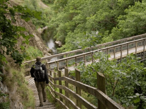
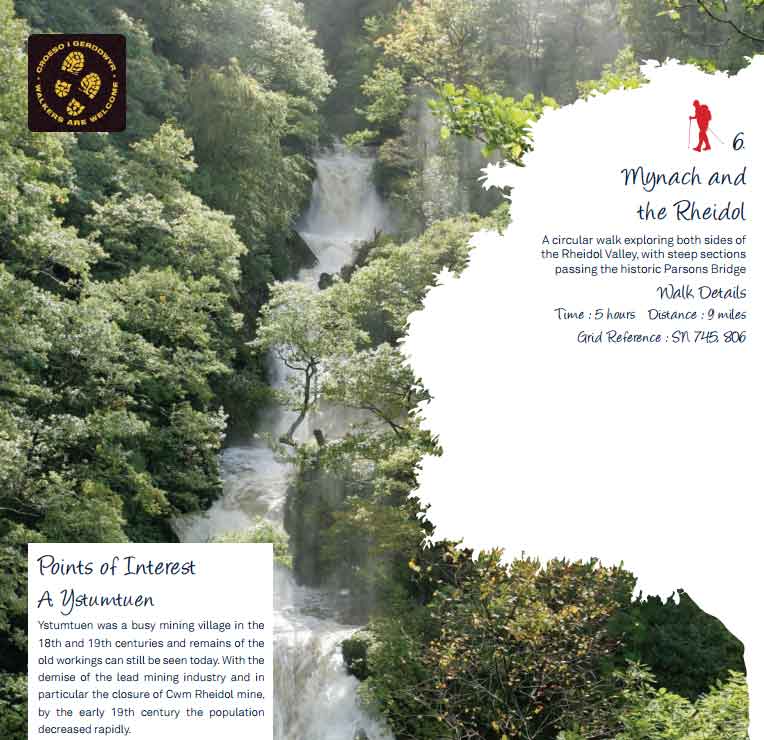
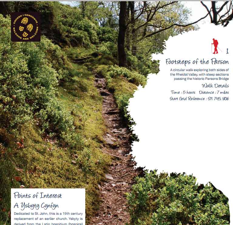
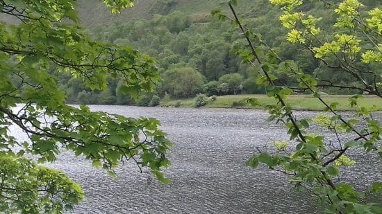
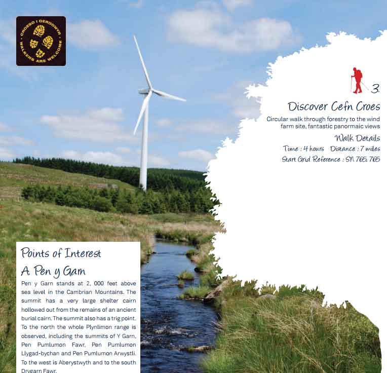
All What To Do Search for Near Search {"hide_search_input":"","hide_near_input":"","input_size":"","bar_flex_wrap":"","bar_flex_wrap_md":"","bar_flex_wrap_lg":"","input_border":"","input_border_opacity":"","input_rounded_size":"","btn_bg":"","btn_rounded_size":"","btn_rounded_size_md":"","btn_rounded_size_lg":"","bg":"","mt":"","mr":"","mb":"3","ml":"","pt":"","pr":"","pb":"","pl":"","border":"","rounded":"","rounded_size":"","rounded_size_md":"","rounded_size_lg":"","shadow":"","css_class":""} View: Grid 1 View: Grid 2 View: Grid 3 View: Grid 4 View: Grid 5 View: List Walking Favourite Pumlumon Walk 2 One of three routes to the top of this spectacular peak, the highest point in the Cambrian Mountains and Mid Read more… Walking Favourite Pumlumon Walk 1 One of three routes to the top of this spectacular peak, the highest point in the Cambrian Mountains and Mid Read more… Walking Favourite Walking Trail at Maenarthur Woods 2.5 miles with 500 foot of climbing. Waymarked walk through attractive mixed woodland with superb views up and down the Read more… Walking Favourite Mynach and the Rheidol A circular walk exploring both sides of the Rheidol Valley, with steep sections passing the historic Parsons Bridge Time : Read more… Walking Favourite Footsteps of the Parson A circular walk exploring both sides of the Rheidol Valley, with steep sections passing the historic Parsons Bridge Time : Read more… Walking Favourite Follow the Mynach A walk following the river Mynach from its source to Devil’s Bridge, where it creates the famous waterfalls Time : Read more… Walking Favourite Discover the Rheidol Valley A walk along the upper and lower sections of the southern side of the Rheidol Valley. Spectacular views with steep Read more… Walking Favourite Discover Pontrhydygroes A circular walk taking in some of the historical mining features associated with Pont-rhyd-y-groes Time : 3 hours Distance : Read more… Walking Favourite Discover Cefn Croes Circular walk through forestry to the wind farm site, fantastic panoramic views Time : 4 hours Distance : 7 miles Read more… Walking Favourite Devils Bridge and Waterfalls A circular walk taking in the upper Rheidol Valley, Ystumtuen and Ysbyty Cynfyn Time : 4.5 hours Distance : 6.5 Read more… Walkers are Welcome Favourite Walking Trails at The Arch and Pwllpeiran All trails start and finish at The Arch picnic site, grid reference SN765755 (map marker is for nearby Devil’s Bridge). Read more… Walkers are Welcome Favourite Walking Trails at Nant yr Arian NANT-YR-ARIAN TRAIL 1.5 miles through open woodland and along a heathery ridge, with superb views to the Cambrian Mountains, and Read more… Posts navigation Newer posts1234…6Older posts