Up to 1.5 miles, with various short-cuts possible. Flat.
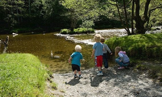
A waymarked route, the outward half beside the Ystwyth river, returning through open woodland. Many bluebells in season.
Located off the B4340 from Aberystwyth to Trawsgoed. Black Covert picnic site is 1 kilometre south of Abermagwr (Map marker is for Abermagwr, please use grid reference to locate start). Turn right over the bridge (signed Llanilar B4575) then turn immediately left and left again into the car park.
Start: Black Covert picnic site, grid reference SN667728
Loading...
No Records Found
Sorry, no records were found. Please adjust your search criteria and try again.